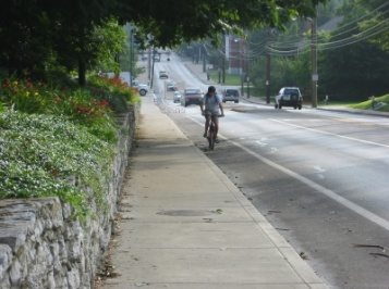

This extensive area-wide assessment of bicycling conditions in Kentucky’s Lexington-Fayette MPO region resulted in the identification of high priority need areas to promote regional accommodation of bicycling. This bicycle conditions evaluation, conducted for the Lexington-Fayette County Government involved data collection and analysis of hundreds of miles of collectors and arterials within Fayette County, including the areas within and immediately surrounding the University of Kentucky campus. The analysis tool, the Bicycle Level of Service Model (developed in 1996 by Bruce Landis and his staff) was used to assess bicycling conditions and portray the results on a GIS thematic map for the region. Metropolitan areas across the United States further use the Model, in conjunction with demand surveys or models, to identify needed connections among trip origins and destinations within the urbanized areas. Many agencies are using this method to set design guidelines and establish roadway reconstruction standards to better accommodate bicycling facilities for both area-wide and special districts.